ARL scientists perform activities to understand the main processes that drive the transport and dispersion of harmful substances in the atmosphere, to improve the quality of our modeling tools, and to assess the uncertainties and applicability of those tools. In addition, investigations of the transport and dispersion of chemicals in the atmospheric boundary layer serve to provide quantitative flow-visualization information that can lead to new insights and improvements in weather modeling. The behavior of chemical tracers in the atmosphere is governed by the same processes that govern the weather. The use of dispersion simulations in combination with weather models to predict transport and turbulent mixing of chemical constituents in the boundary layer constitutes a fundamental test of the weather data as well as the dispersion model’s use of that data.
The HYSPLIT Model
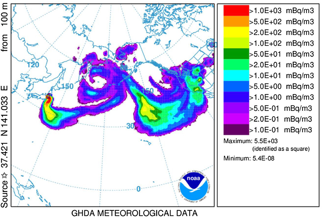
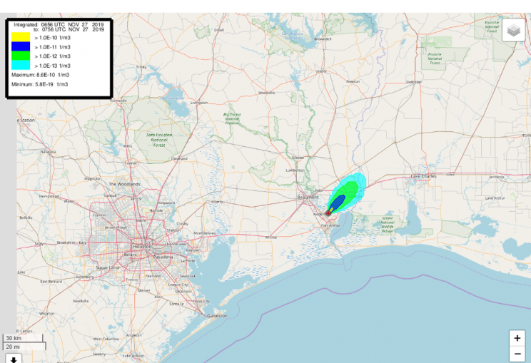
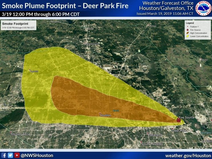
HYSPLIT is the core engine of ARL’s transport-dispersion modeling activities and it is one of the most widely used models for atmospheric trajectory and dispersion calculations in the US and internationally. Developed and maintained by ARL, HYSPLIT is a complete system for computing simple air parcel trajectories as well as complex transport, dispersion, chemical transformation, and deposition simulations. The range of applications includes: tracking and forecasting the release of radioactive material, wildfire smoke, windblown dust, pollutants from various stationary and mobile emission sources, allergens and volcanic ash. ARL’s dispersion products are not only used for operational applications at the NWS but also by other US government agencies, academia, and private companies.
HYSPLIT Model Development
HYSPLIT is under continuous development at ARL in collaboration with internal and external partners. The model evaluation activities described below are fundamental to this development as they provide objective assessments of model performance and allow hypotheses to be generated and tested. Quantification, and attempts to reduce uncertainty, is a related, core effort underpinning HYSPLIT development.
Model Evaluation
Evaluation is a crucial aspect for developing improvements and in gaining confidence in weather and climate models. Harmful materials typically simulated by atmospheric dispersion models are rarely distributed intentionally, so it can be challenging to evaluate models for a wide variety of environmental conditions and source scenarios. The use of atmospheric tracers is an essential component in the study of dispersion science because tracer data are reference observations.
Atmospheric Tracers
A tracer is any in the atmosphere that can be used to track the origin of an air mass. The use of atmospheric tracers is an essential component in the study of dispersion science because tracer data provide reference observations. Tracers are useful for interpreting and validating results from models such as HYSPLIT.
Intentional Tracers
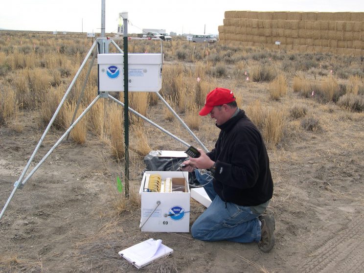
ARL has carried out numerous intentional tracer studies and developed a repository of standardized data that includes meteorological model, tracer data, and statistical and graphical tools called the Data Archive of Tracer Experiment and Meteorology (DATEM) to evaluate model changes and determine the accuracy of the dispersion prediction. DATEM includes tracer experiments that cover a wide range of durations and distances: from the urban scale Metropolitan Tracer Experiment (METREX), to the continental scale Across North America Tracer Experiment (ANATEX). New intentional tracer experiments will support continued development of the HYSPLIT model. ARL is conducting research on the use and measurement of new tracer compounds from a variety of ground-based, mobile and aerial platforms.
Tracers of opportunity
Tracers of opportunity, chemical species emitted as a result of normal human activities, can be used to expand the data against which HYSPLIT can be evaluated. ARL’s expertise in the measurement of SO2 in the BL to carry out targeted field campaigns with ARL ground-based instruments, allows a higher density of ground-based stations – similar to a more traditional tracer experiment – and provides higher spatial resolution data to evaluate models and hypotheses. These campaigns can be designed to address key questions and challenges and would include measurements of other chemicals and meteorological parameters that may be helpful in diagnosing and understanding atmospheric processes during the campaign.


